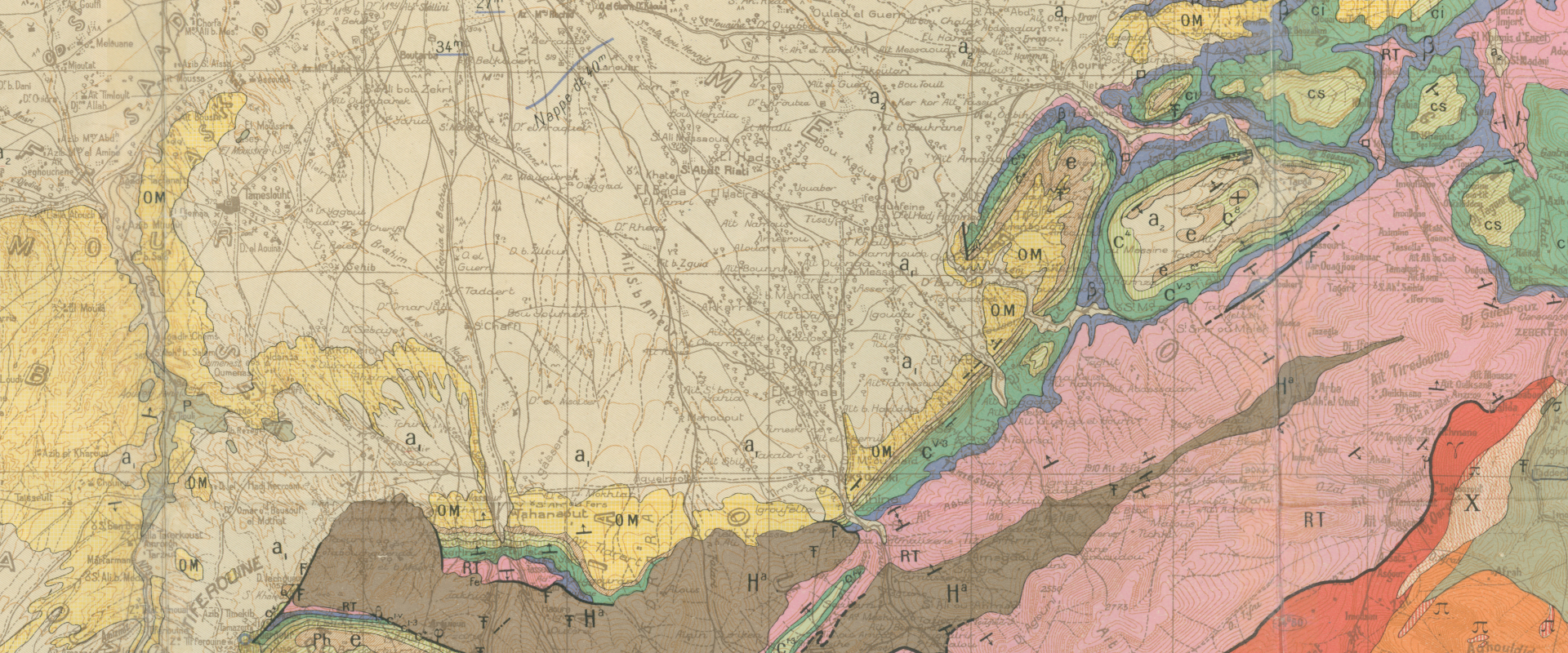
The Geological Society has been collecting geological maps since 1808.
It has one of the most comprehensive collections of geological mapping in the world, with over 40,000 maps covering the whole of the Earth, from the beginnings of geology to modern mapping.
How can I access the Map Collection?
Fellows and Student Members
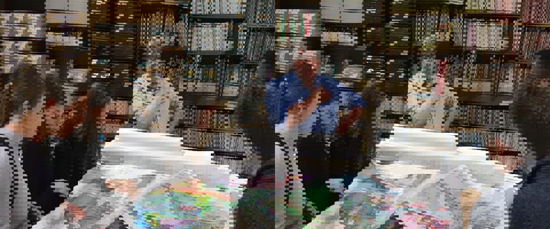
Maps are available to be used and borrowed by Fellows, Postgraduate Members, Student Members and employees of our Company Patrons. Maps can be posted out to you on loan if you are unable to visit the Map Room in person.
Even if we do not hold a map covering your area of interest, we can frequently advise on what maps might be available and where they can be found.
Associate Members
Associate Members can use the maps from the Map Room, but they must be consulted on site. You cannot borrow items from the map collection.
Non-Members
Non-members can also visit the Library to consult the maps we hold in the collection although we cannot lend maps. There is a fee to use our collections including the map collection. Please see our information on visiting the library for more information

All the items in the map collection are listed on the Library Catalogue. You can filter your search to retrieve just maps rather than books and journals.
If you want to use any maps from the Map Room please contact the Library in advance of your visit on library@geolsoc.org.uk
As space in the Map Room is limited, the map librarian will bring maps out for you to use in the main Library.