The Salt Range, Pakistan

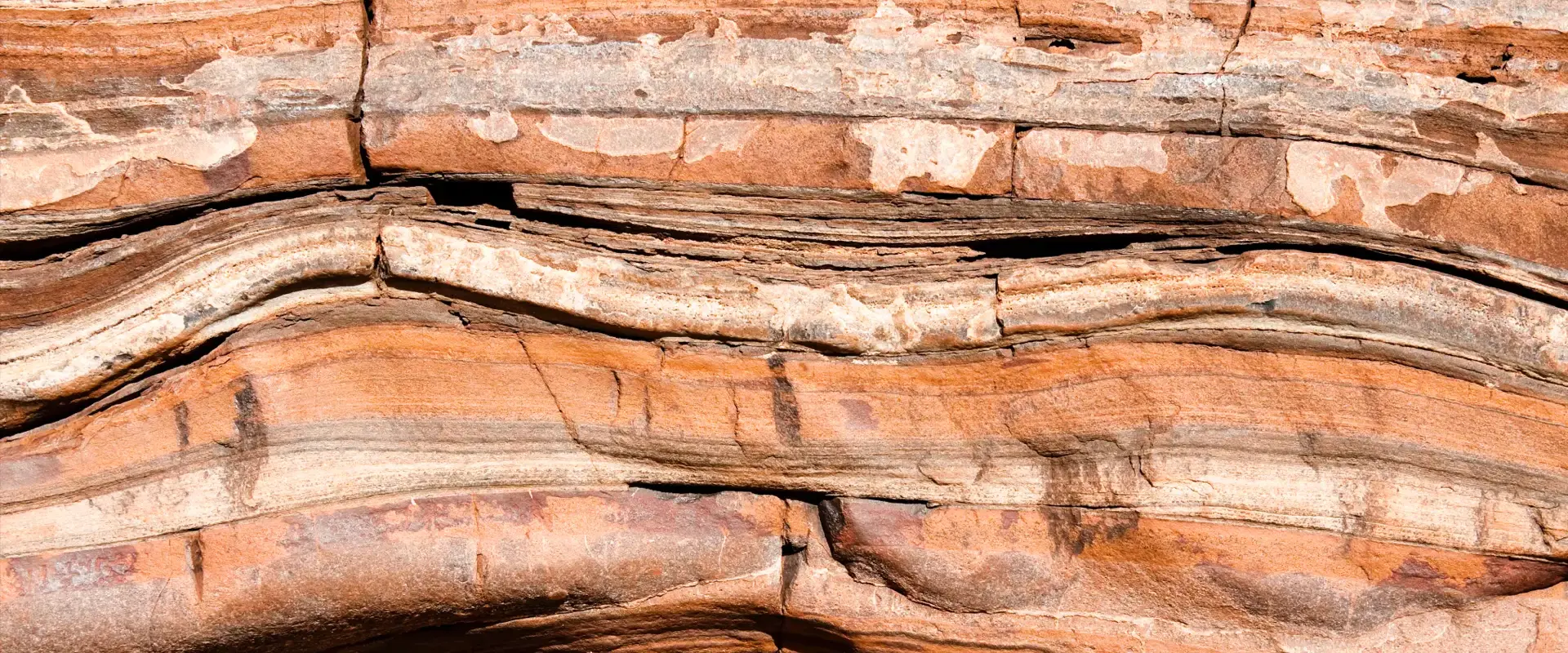
The Salt Range of Pakistan contain the outermost hills at the northern fringe of the collision zone formed as the Indian plate continues to drive northwards into Asia. The collision started around 50 million years ago and has formed the high Tibetan plateau and the Himalayas. But the Salt Range has only formed in the past few million years. The continued plate convergence drives on into the plains of the Punjab, forcing up sedimentary rocks that have only recently been deposited in front of the growing mountain ranges. So the process of continental collision recycles sedimentary rocks. They are uplifted and eroded from the developing mountains, deposited by rivers on the edges of the hills and then re-incorporated into the mountain belt as collision continues. The same pattern of reworking sedimentary rocks is preserved along the edge of the Variscan mountain belt which can be seen around Tenby in south Wales.
 |
|
| NASA image of Pakistan's mountain ranges: © NASA |
Related Links
Other sites
- Twin: Windward Isles
Cwm Idwal
- Twin: Mount Pinatubo
Sperrin Mountains
- Twin: Sierra Nevada
Southern Uplands
- Twin: Nankai
Ben Arnaboll
- Twin: Glarus Thrust
Outer Isles
- Twin: Tohoku Earthquake
Clogherhead and Shannon
- Twin: Papua New Guinea
Cairngorms
- Twin: New Hampshire Granites
Great Glen Fault
- Twin: North Anatolian Fault
The Lizard
- Twin: Troodos Ophiolite
Yoredales
- Twin: Antarctica
Stanage Edge
- Twin: Ganges Delta
Hartland Quay
- Twin: Zagros Range
Amroth-Saundersfoot-Tenby
- Twin: Salt Range, Pakistan
Vale of Eden
- Twin: East African Rift Valley
Zechstein
- Twin: Sicily
Alderley Edge
- Twin: Navajo Sandstone
Isle of Skye
- Twin: Mount Kilimanjaro
Lulworth Cove
- Twin: Albania
Giant's Causeway
- Twin: Cascade du Ray Pic