Amroth-Saundersfoot-Tenby Transect, Wales
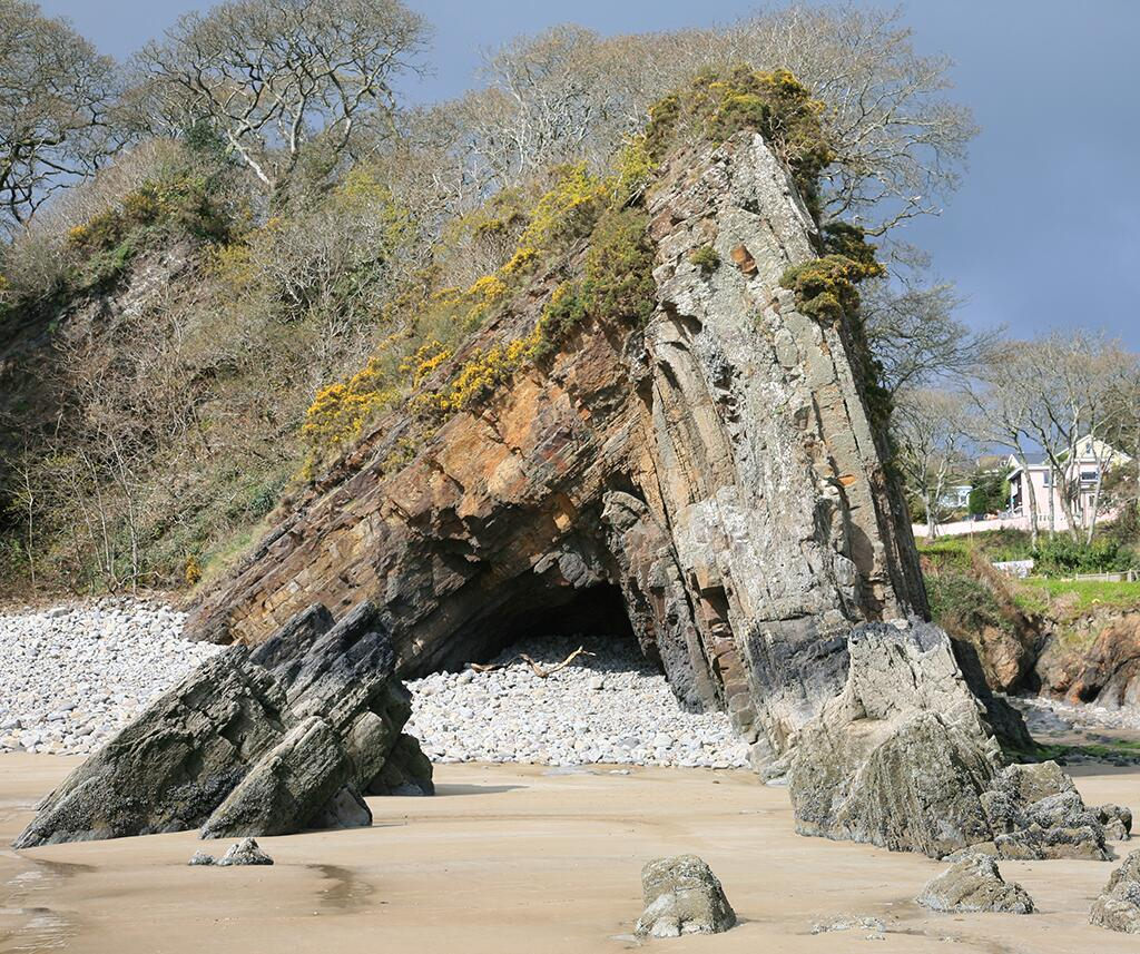
The Variscan (sometimes called “Hercynian”) orogeny was the last great period of mountain building to affect the British Isles. The heart of this mountain belt lay above much of France (e.g. the Britanny peninsula) and it is here that once deeply-buried rocks are now exposed at the Earth’s surface. The outer parts of the Variscan belt forms a mountain front that runs through northern Germany, Belgium, beneath Kent and southern England, into the Mendips before running through southern Wales and on into Munster province in Ireland. This site in SW Wales captures part of the Variscan mountain front, completely exposed in a few km of coast section.
 |
|
| Variscan mountain belt during the Carboniferous Period: © Woudlouper |
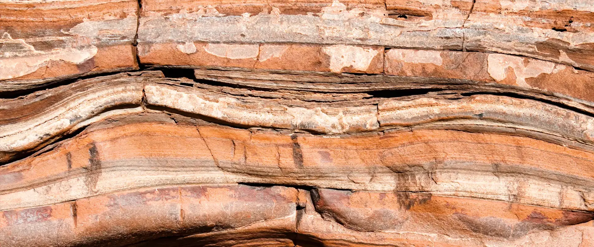
Starting at the village of Amroth you can take a walk south to Tenby that passes through Upper Carboniferous strata that becomes increasing folded and disrupted. This includes the famous Lady’s Cave anticline (Saundersfoot) – a classic example of a tight chevron fold. Further south the folds become disrupted by thrusts so that bed continuity around structures is lost. The best example of this disruption is to be found at Monkstone Point. Continuing towards Tenby the structure becomes increasingly complex and disrupted with older Namurian (326 to 313 million years ago) rocks brought up and significant tracts of over-turned rock layers. All this deformation culminates in the Ritec Fault – a significant thrust that brings up Lower Carboniferous limestones (at Tenby’s Castle Hill).
Note – it is possible to follow the walk along the foreshore but this requires careful judgment re-tides.
Further reading:
An exceptionally detailed guide book to this and other itineraries in South Wales is:
George, G.T. 2008.The Geology of South Wales: A field guide. Pp. 247. ISBN 978-0-9559371-0-1.
Smallwood, S. 1985. A thin-skinned thrust model for Variscan Pembrokeshire, Wales. Journal of Structural Geology, 7 (6), pp. 683-687
Twinned with: The Salt Range, Pakistan
The Salt Range of Pakistan contains the outermost hills that have formed as a result of India’s drive northwards into Asia. The collision started around 50 million years ago and has formed the high Tibetan plateau and the Himalayas, but the Salt Range was only formed in the past few million years. The ongoing plate convergence drives on into the plains...continue reading
Related Links
- Dan McKenzie Archive
- The Rock Cycle
- Plate Tectonics schools website
- Plate Tectonics Glossary
- Variscan Orogeny
| Back to main stories page > |
Other sites
- Twin: Windward Isles
Cwm Idwal
- Twin: Mount Pinatubo
Sperrin Mountains
- Twin: Sierra Nevada
Southern Uplands
- Twin: Nankai
Ben Arnaboll
- Twin: Glarus Thrust
Outer Isles
- Twin: Tohoku Earthquake
Clogherhead and Shannon
- Twin: Papua New Guinea
Cairngorms
- Twin: New Hampshire Granites
Great Glen Fault
- Twin: North Anatolian Fault
The Lizard
- Twin: Troodos Ophiolite
Yoredales
- Twin: Antarctica
Stanage Edge
- Twin: Ganges Delta
Hartland Quay
- Twin: Zagros Range
Amroth-Saundersfoot-Tenby
- Twin: Salt Range, Pakistan
Vale of Eden
- Twin: East African Rift Valley
Zechstein
- Twin: Sicily
Alderley Edge
- Twin: Navajo Sandstone
Isle of Skye
- Twin: Mount Kilimanjaro
Lulworth Cove
- Twin: Albania
Giant's Causeway
- Twin: Cascade du Ray Pic